 Prime Land for Sale in Waveland, MS / Bay St. Louis")


Price: 4,400.00 USD
Land For Sale ( CASH SALE) Prime Land for Sale in Waveland, MS / Bay St. Louis
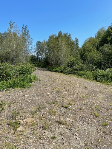
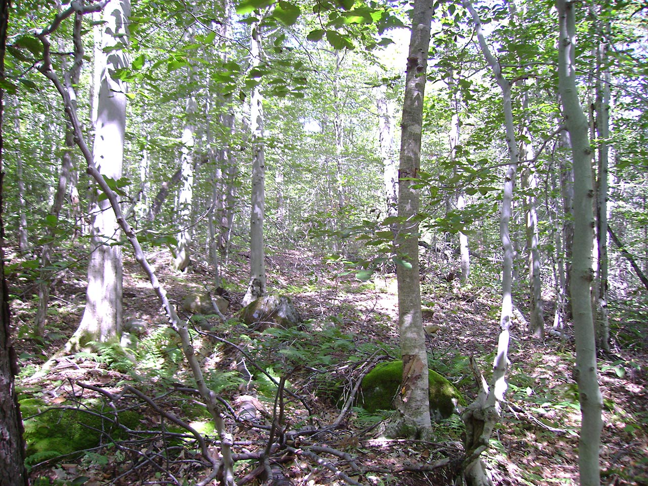
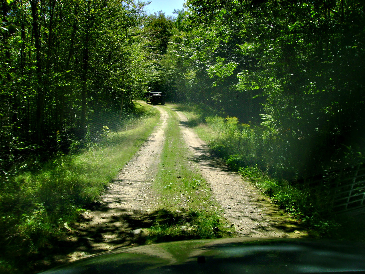
Discover the perfect opportunity to own a piece of paradise in Waveland and Bay St. Louis, MS! This prime land is ideal for building your dream home, investing in real estate, or creating a weekend getaway. Located in two of Mississippi’s most desirable coastal communities, this land offers easy access to stunning beaches, vibrant local culture, and all the amenities you need. Land For Sale By Owner! Wholesale Land
Whether you’re looking to buy land for future development or as a long-term investment, this property is an excellent choice. With flexible financing options available, now is the perfect time to secure your spot in one of Mississippi’s fastest-growing areas.
Don’t miss out on this rare opportunity! Contact us today to learn more about these beautiful properties and make your dream a reality.
$4,400 Cash
‣
-
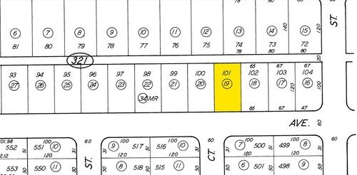
Parcel Number- 138B-0-46-197.000
-
State- Mississippi
-
County- Hancock
-
City- Bay Saint Louis
-
Type- Residential
-
Size- 0.11
-
Subdivision- Shoreline Park
-
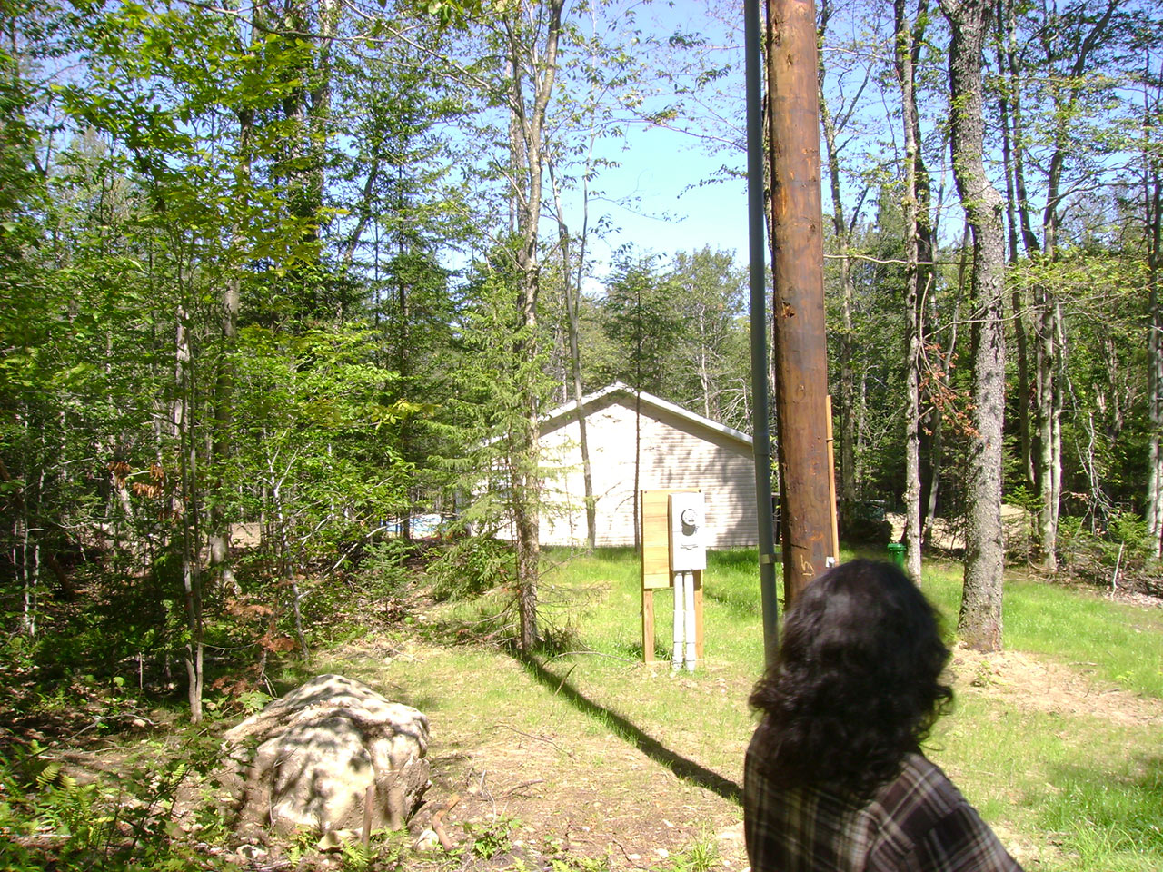
Electric- Available
-
Water/well- Needed
-
Sewer- Available
-
Near The Beach.
-
Homes Allowed- Single Family and modular
-
Taxes- $17.07
‣
Coordinates-
Longitude:-89.39125647
Latitude:30.31931135
‣
NO LIENS, JUDGEMENTS, BACK TAXES, OR ASSESSMENTS!
‣
‣
FOR EVERYONE!
-
No credit checks
-
No interest rates
-
No documentation fees
-
Just pay and go!
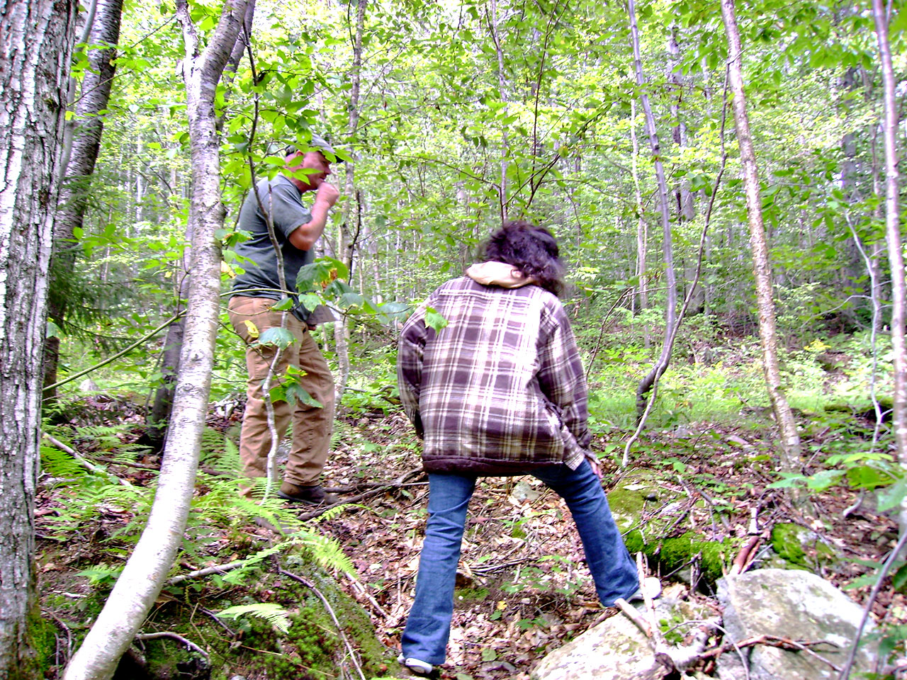
How Can I Make Sure This Is Legit? – The best way is to contact county zoning to confirm my name as well as business name are listed on the deed. You may also check out my reviews that are listed on our eBay Profile. I am a single person selling these properties
‣
To secure this lot please send me a message. I will send you a Sale Agreement to sign online via Docusign, once signed I will send you a copy along with invoice through Square for the full price. There are no other fees with this transaction. I will cover recording. Once the payment is received I will have my deed guy write up the new deed, I will get it notarize and mailed the county for recording and then to you once it has been recorded. A tracking number will be provided as well.
‣
For any other questions please contact the county Chancery Court and they can direct you
Sold “AS IS” do your due diligence and research lots before buying, we try to provide the most accurate information as we can but we do not know/nor are we reliable for in accurate information or excess fees. We make no guarantee to the location, condition, accessibility, build ability or information contained in the listing.
Item specifics
-
Seller State of Residence
-
Florida
-
Type
-
Homesite, Lot
-
Zoning
-
Residential
-
City
-
Waveland
-
State/Province
-
Mississippi