 Utilities at lot Down payment Bid")


Price: 2,500.00 USD
Arkansas Mobile Home lot $60 monthly (No HOA) Utilities at lot Down payment Bid
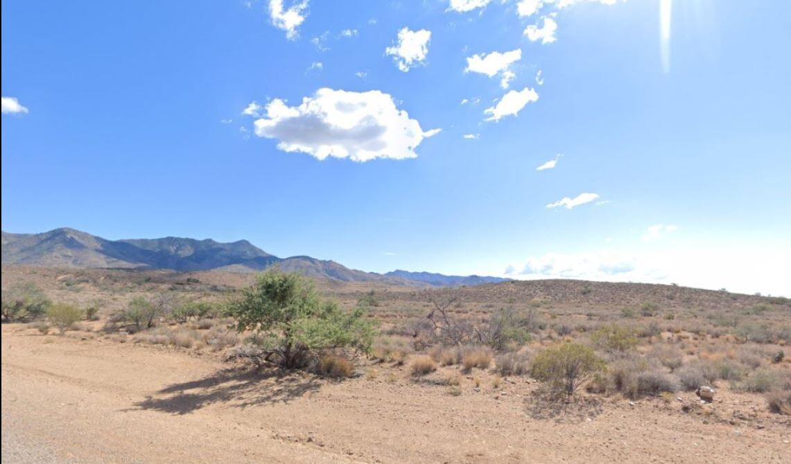
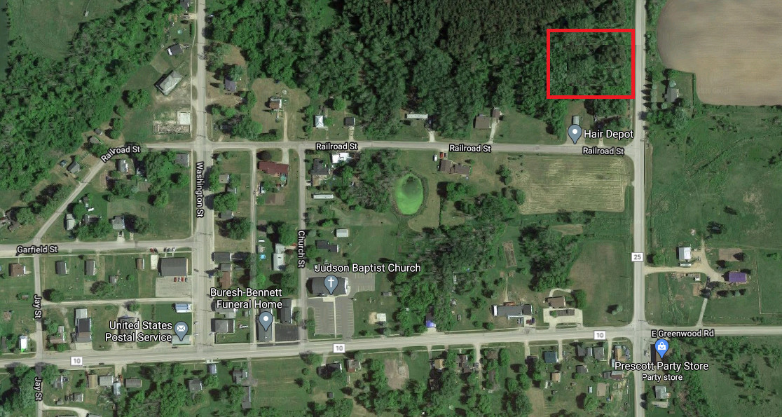
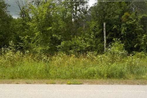
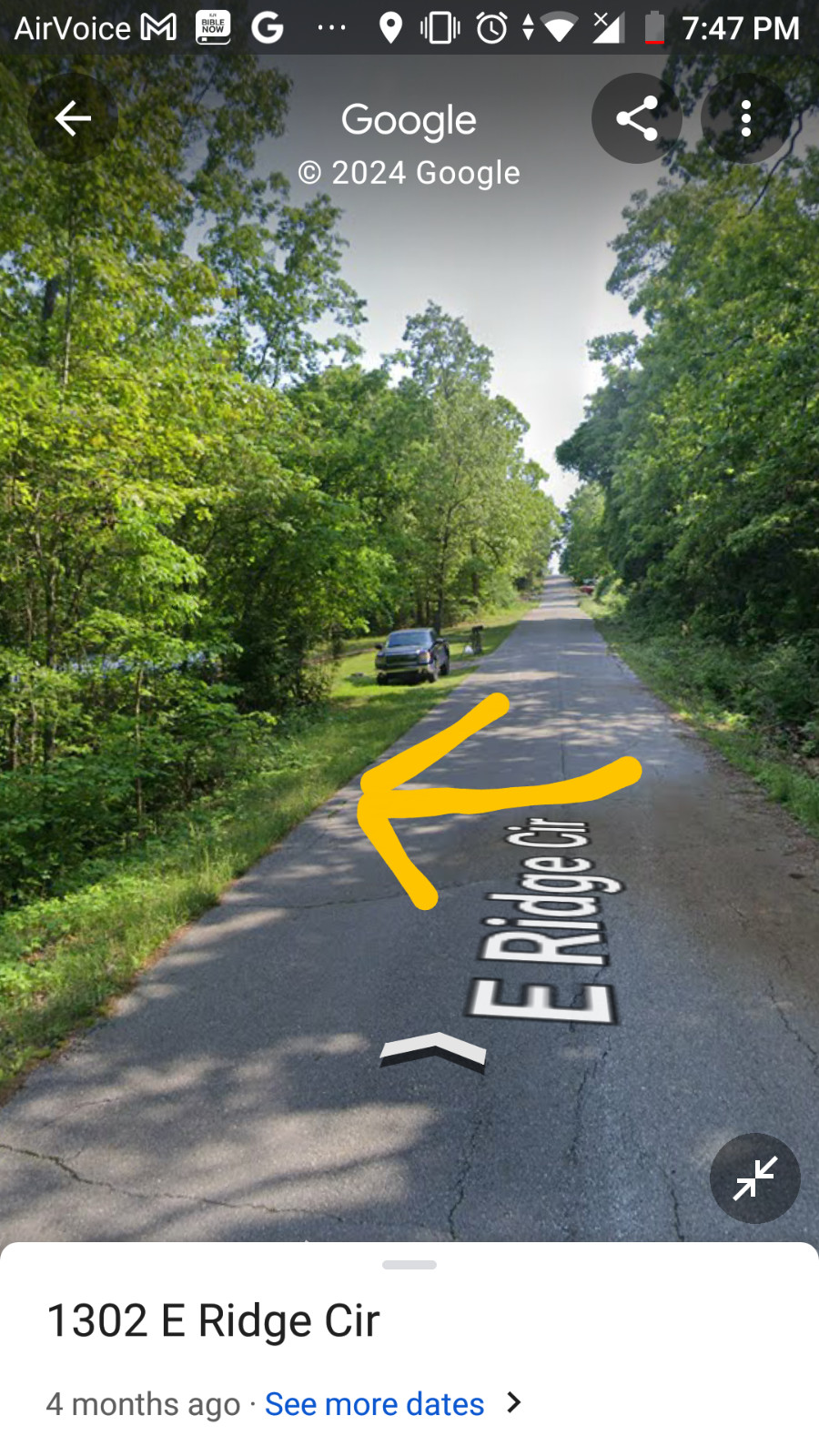
This land for sale in Arkansas is perfect for anyone looking to purchase a mobile home in a resort community. With an acreage of 0.20, this homesite lot is ideal for those who want to build their own custom home or bring in an existing mobile home. The property address is 1329 E Ridge Cir and it is located in the city of Horseshoe Bend, Arkansas. The lot current has all utilities accessable. Very nice community and a great Mobile Home Resort.
This Bid is for the Down Payment on this lot. The total purchase price is $3500 Or Best agreed offer.The down payment will be deducted from the full purchase price then payments of $60 monthly until paid off with 0% interest!! ((No HOA))!!! Once you pay it off all you have to pay are taxes! Noone telling you what to do on the lot or charging you monthly fees.
No Document fees! You may also purchase this lot at $2500 for a CASH discount price.
Address -1329 E Ridge Cir, Horseshoe Bend AR 72512
Parcel# 800-07553-000
Lot size 0.20 acres
Any fair down payment offers will be considered for serious buyers and auction ended early. Payment to be made in 24 hours of less. Do Not click Buy it Now please message us first. Also please message us when placing a bid or it will be retracted to help fight scammer bids
Happy Bidding!!
Item specifics
-
Seller Notes
-
“Lot has utilities at lot for easy hook up.”
-
Acreage
-
0.20
-
Seller State of Residence
-
Florida
-
Type
-
Homesite, Lot
-
Property Address
-
1329 E Ridge Cir
-
Zip/Postal Code
-
72512
-
Zoning
-
Residential
-
City
-
horseshoe bend
-
State/Province
-
Arkansas
-
See MapPortions of this page and links may be provided by third party content providers such as MapQuest.com, and they are solely responsible for such content.