


Price: 3,000.00 USD
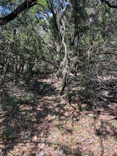
Wooded lots in Arkansas! Stunning area!
Properties are conveniently located less than five miles of popular recreational destinations like Lake Greer, Indian Rock Cave, Sugar Loaf Mountain National Trail, Indian Hills Golf Course and Indian Falls Trail.
There is hiking trails, waterfalls, caving, fishing and kayaking!
Fairfield Bay is a sought-after resort community with low taxes. It offers it’s members access to exclusive golf, trails, pools and do much more!
Zoning is R-1
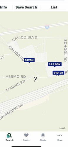
1-(VL) E. Cliff Dr.
Parcel Number: 4050-09018-0000
DR#561 99-1744 Section: 16 Township: 11N Range: 12W Acreage: Lot: 18 Block: 9 City: Fairfield Bay Addition: Chelsea Glade School Dist: 03F
2-4400-01082-0000
W. Cliff Dr.-0.32 acres.
3-4300-17040-0000
Sunset Dr.-0.25 acres.
4-4050-08922-0000
E. Cliff Dr. #1-0.42 acres(adjacent to #5)
5-4050-09022-0000
E. Cliff Dr. #2-0.326 acres(adjacent to #4)
6-4300-06094-0000
Mayflower Ct.-0.53 acres
No mobile homes, single family residence
CLOSING PROCESS:
1. Winning bid is the total price!
2. Payment must be made using Cashapp, Venmo or PayPal
3. Buyer to send message containing: legal names(s) to put on title, address to put on deed, mailing address (if different), email address for official documents to be sent
4. Property will be Quit Deed. Buyer to sign the real estate transfer tax stamp form. Buyer to register the deed with the county clerk (simple process-we can help you).
If interested in fewer lots, please message.
Item specifics
-
Seller Notes
-
-
Seller State of Residence
-
Kentucky
-
State/Province
-
Arkansas