


Price: 8,971.00 USD
10.39 acres OWNER FINANCED LAND in Hudspeth County, Texas
OWNER FINANCED LAND – NO CREDIT CHECKS REQUIRED!
Tract 9: $8,971
This property is located in Hudspeth County, approximately 50 miles west of Van Horn, Texas, 102 miles east of El Paso, Texas, and 144 miles southeast of Las Cruces, New Mexico.
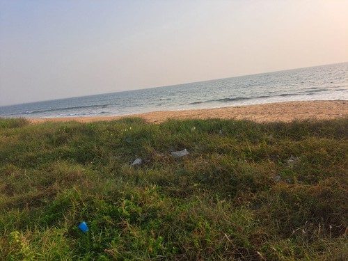
Tract 9 is a beautiful lot with plateau views and access via an unmaintained dirt road. No power or modern conveniences make this a true off-grid plot of desert land. As the new owner, you’ll be free to transform this land into your retreat, whether by building a permanent home or creating the ideal vacation getaway for countless memorable weekends.
Down Payments: Starting as low as $499 with a monthly payment of $77 (or up to 20% down).
Flexible Terms: Choose from 2, 5, 7, 10, 15, or 20-year plans.
Cash Discount: 20% discount for cash buyers!
Contact Me!
Sydney@classiccountryland.com
(469) 523-5810
Item specifics
-
Seller Notes
-
“off-grid rural land”
-
Acreage
-
10.39
-
Seller State of Residence
-
Texas
-
Type
-
Recreational, Acreage
-
Property Address
-
Mc Adoo Rd, Sierra Blanca, TX
-
Zip/Postal Code
-
79851
-
Zoning
-
Residential
-
City
-
sierra blanco
-
State/Province
-
Texas
-
See MapPortions of this page and links may be provided by third party content providers such as MapQuest.com, and they are solely responsible for such content.