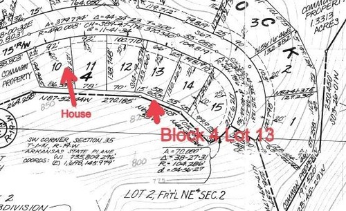
You are buying a 1/4 Acre Lot in the Rio Del Oro Subdivision in Valencia County, New Mexico. Specifically, Lot 20, Block 17, Unit 8.
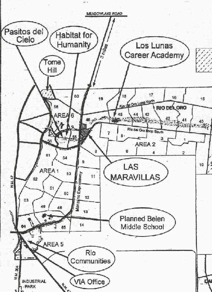
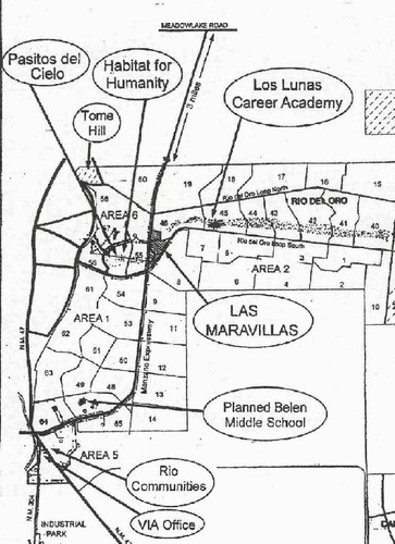
Property Taxes are $9.38 per year as of December, 2023. The lot is in area 8 in the picture.
Discover this affordable and potentially lucrative opportunity south of Albuquerque, next to Belen and Los Lunas in Valencia County, New Mexico.
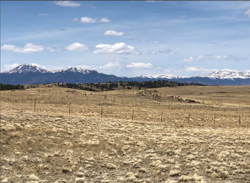
Rio Del Oro Subdivision is a large development consisting of 47,000 acres between Belen and Los Lunas, toward the Manzano Mountains which rise 10,000 feet. This area is still under-developed, which gives you an affordable opportunity.
The area has beautiful unspoiled nature with all the conveniences of nearby Albuquerque, about 30 minutes away.
There are scattered subdivisions throughout this area with nice homes as well as areas that are yet to be developed – here’s your opportunity. Please note that it’s best to own 3 contiguous .25 acre lots to build a house. However, with a .25 acre lot, you can set up a camper, RV, etc. for up to 45 days per year. You can contact the Construction Industries Division of New Mexico (CID) and get an approval for a cabin without wheels attached with a composting toilet and a water catchment system if you wish, but it will be up to the CID to approve this. You can also look for lots that are adjacent to your lot to build a house – I have never seen a lot that’s smaller than .25 acre in this entire area.
There is a Valley Improvement Association that will keep you informed as to further developments in this area. Please also note that developers can buy up lots in your specific area and you can choose to sell or be surrounded by new homes.
There is Valencia High School in this area as well as other schools for children.
A lot is happening here: A new $50 million Phase 1 Facebook Data Center broke ground in late 2016. A new $10 million medical facility broke ground in Los Lunas and a $15 million acute care facility also broke ground in Belen.
A new $23 million Niagara water bottling plant broke ground in Los Lunas.
There’s a new $65 million UNM College main campus – Physics & Astronomy building in Albuquerque.
Nearby conveniences include: Wal-Mart, a senior center, shopping centers, churches, a hospital, library, gas stations, grocery stores, a Country Club and Golf Course, and a resort and casino are about 25 miles away.
Please conduct your own due diligence and consult with qualified professionals.
How to buy your lot:
Reach out to us with inquiries
We’ll send you a straight forward purchase agreement
Make your payment – no financing – payment must clear our bank
We’ll promptly prepare and send your Warranty Deed via certified mail
Your Warranty Deed certifies that there are no liens, mortgages or any other encumbrances on this property
The property becomes entirely yours
Property Details:
APN: Lot 20, Block 17, Unit 8
Rio Del Oro Subdivision
State: New Mexico
County: Valencia
Lot Size: .25 Acre
Zoning: contact Valencia County Zoning

 Vacant Lot For Sale At 1032 Roble Ct, Rio Rico, AZ. ,500")


 For Sale In Fairfield Bay, AR. ,500")


 Land For Sale In Hot Springs Village, AR. ,500")