


Price: 9,000.00 USD
ZION – ORDERVILLE TRAILHEAD , CASH PRICE ONLY
Experience your Adventure Paradise
In Kane County, Utah
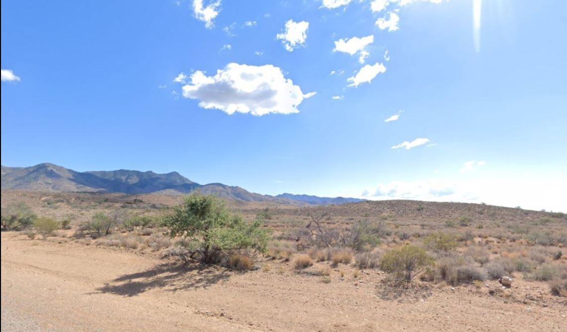
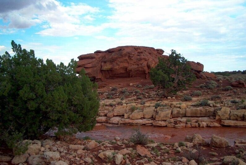
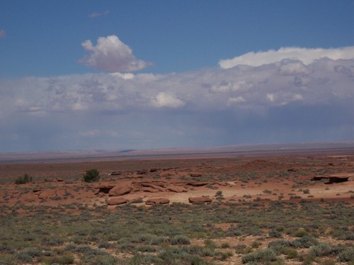
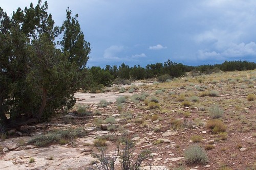
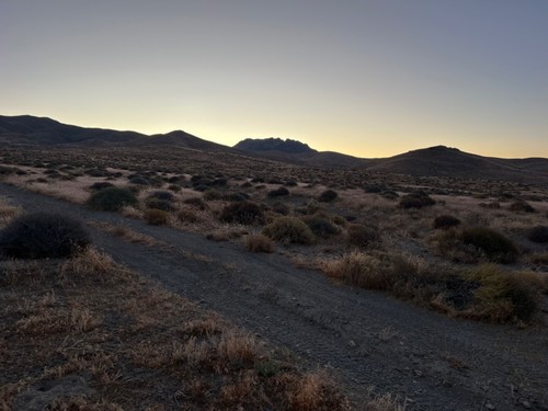
This lot has good views of the mountains and canyons, and several very large cedar trees. This unique property is surrounded by miles and miles of hiking and ATV trails and is close to canyons, forests, lakes and rivers. Located at the headwaters of Orderville canyon, you can actually enter Zion and the Virgin river canyon from here. And with National Parks getting more crowded and reservations sometimes needed, this ensures you can always have access.
The other plus on this lot will be the ease to build on multiple building sites due to the existing road along the entire north side of the lot. Even though this is an off-grid property, there are several cabins very close by. Some are seasonal owners and some are full-time owners. It’s always nice to have good neighbors as a backup option when Mother nature gives you a friendly nudge. There are about 25 heavy duty metal posts 3 inches in diameter actually on the lot in case you want to put up a perimeter fence.
There is a $295 doc fee added to the final price.
Don’t miss out on this one. This is a highly sought-after area!
PROPERTY INFORMATION:
STATE: UTAH
COUNTY: KANE
NEAREST TOWN/CITY: ORDERVILLE
SUBDIVISION: ZION HUNTING ESTATES
PARCEL#: 114-3-12-2
LEGAL DESC: ALL OF LOT 12-2 BLOCK 3 ZION HUNTING ESTATES
PARCEL SIZE: 1.27 ACRES
ACCESS: PUBLIC COUNTY GRAVEL ROAD
TERRAIN: ROLLING HILLS, MEADOWS, VIEWS
POWER: SOLAR, GENERATOR, WIND
WATER: DRILL WELL FOR RESIDENTIAL
SEWER: MUST INSTALL SEPTIC WHEN BUILDING
TITLE: FREE AND CLEAR, NO ENCUMBRANCES
CONVEYANCE: WARRANTY DEED
CLOSING/DOCUMENT FEE: $295.00 TO BE ADDED TO FINAL PRICE
ZONING: RESIDENTIAL
BUILDABLE: YES, CHECK FOR APPROVED USES
CAMPING, R.V’S, MOBILES: YES, CHECK WITH COUNTY
H.O.A., DUES, FEES: NONE
TAXES: APROX $60 PER/YR
ELEVATION: APROX 6,600 FEET
PHONE: CELL
LOT #: 12-2
TIME LIMIT TO BUILD: NONE
COMPARABLE VALUE: $14,000
GENERAL INFO: GORGEOUS MTN LAND WITH COUNTY ROAD, VIEWS
G.P.S CORDS(APPROX): 37.351277, -112.825198
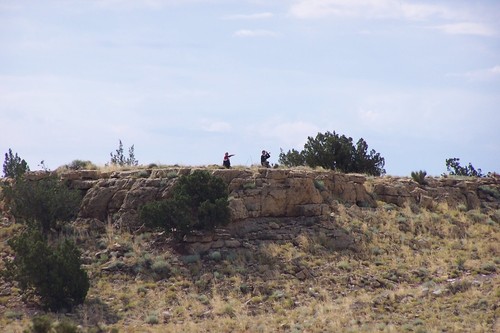
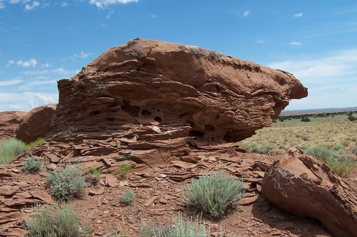
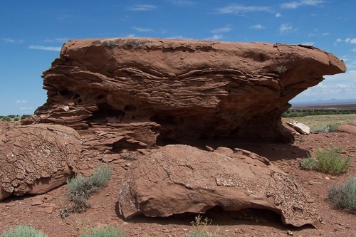
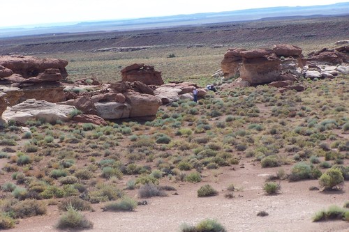
PICTURES: PHOTOS ARE OF THE AREA CANYONS
LINKS: https://eagleweb.kane.utah.gov/treasurer/treasurerweb/account.jsp?account=0036221
CLOSING INSTRUCTIONS:
ALL THE INFORMATION I HAVE ON THIS PROPERTY IS TO THE BEST OF MY KNOWLEDGE AND DISCLOSED WITHIN THE CONTENT OF THIS LISTING PAGE. I HAVE SEEN THE PROPERTY. ANY AND ALL OTHER QUESTIONS REGARDING THIS PROPERTY SHOULD BE DIRECTED TOWARD THE CITY OR COUNTY OF WHICH THE PROPERTY IS LOCATED IN. YOUR DUE DILIGENCE SHOULD BE PERFORMED PRIOR TO BUYING, TO ENSURE THE PROPERTY MEETS YOUR NEEDS AND CRITERIA. PLEASE DO NOT BID UNLESS YOU HAVE COMPLETED YOUR DUE DILIGENCE RESEARCH. I ONLY SELL TO PEOLPE WHO RESIDE IN THE USA. ONLY BIDDERS HAVING 5 POSITIVE FEEDBACKS MAY BID. CONTACT ME PRIOR TO BIDDING IF YOU HAVE LESS THAN 5 FEEDBACKS.
IF YOU CLOSE THE AUCTION, I REQUIRE PAYMENT WITHIN 3 DAYS NO EXCEPTIONS WILL BE MADE.
IF WE AGREE ON A PRICE, I WILL CLOSE THE AUCTION AFTER YOU SEND ME THE $295 DOC FEE, WHICH IS IN ADDITION TO THE PRICE, AND THEN I WILL CLOSE THE AUCTION IN YOUR FAVOR. I ACCEPT CASHIERS CHECK, ACH TRANSFER, WIRE TRANSFER, PAYPAL OR ZELLE. ONCE FULL PAYMENT IS RECEIVED, I WILL FORWARD YOUR DOCS TO THE RESPECTIVE COUNTY FOR RECORDING. ALL SALES ARE FINAL NO RETURNS. IT IS LITERALLY THAT EASY. I MAKE IT SIMPLE AND CLEAN.
THANK YOU AND GOOD LUCK BIDDING!!
Item specifics
-
Seller Notes
-
“Vacant Land”
-
Acreage
-
1.27
-
Seller State of Residence
-
Arizona
-
Type
-
Homesite, Lot
-
Property Address
-
Zion Hunting Estates
-
Zip/Postal Code
-
84741
-
Zoning
-
Residential
-
City
-
Orderville
-
State/Province
-
Utah
-
See MapPortions of this page and links may be provided by third party content providers such as MapQuest.com, and they are solely responsible for such content.