

Price: 7,760.00 USD
Nevada Gold Silver Mine Historic Pilot Mining Claim Adit Shaft Pit NV Au

|
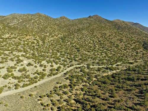
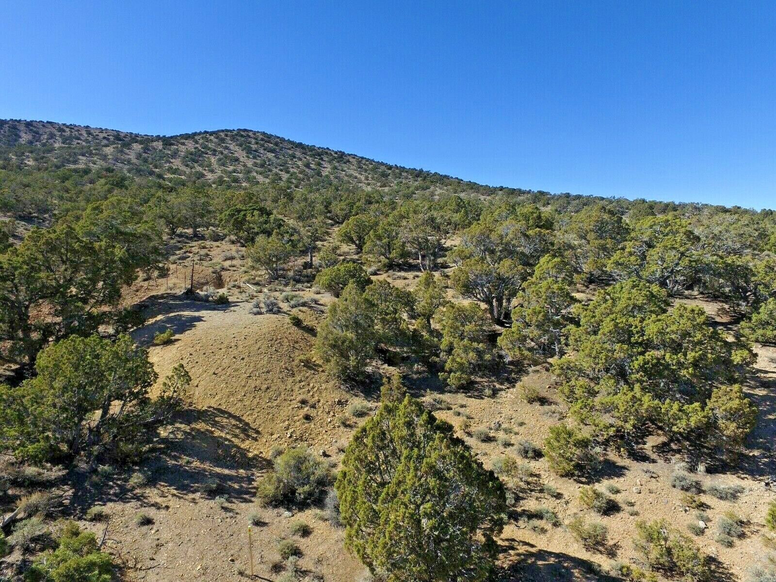
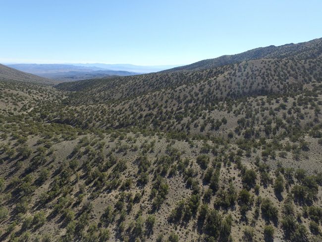
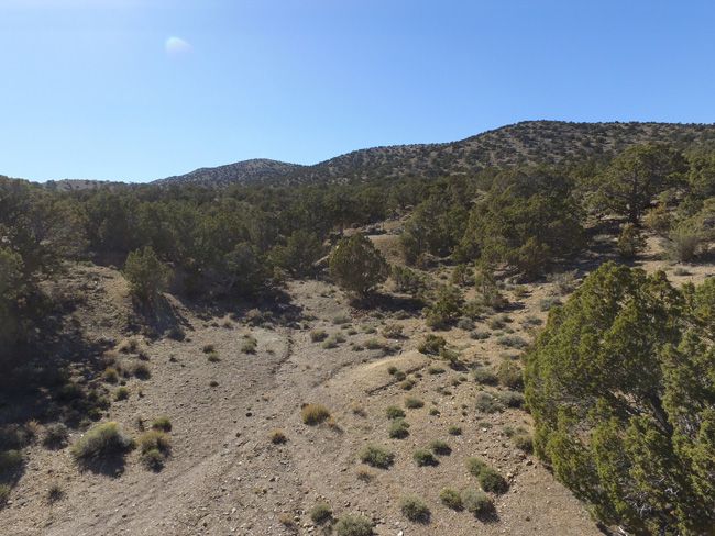
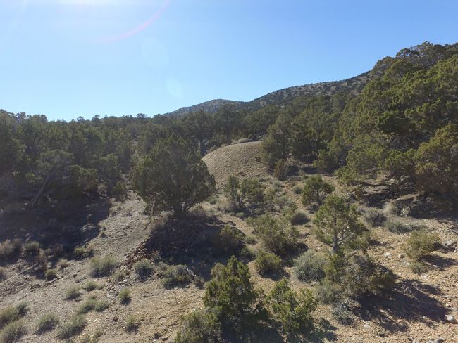
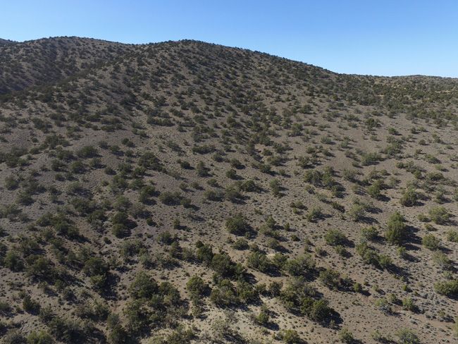
The Immaculate Mine is about 10 miles east of the small (and I mean small) old mining town of Mina, NV. Near the eastern slope of Pilot Peak, the Immaculate Mine lies in the heart of the district. Mining in Nevada wasn’t always just about gold and silver. The Pilot Mountain Mining District (occasionally referred to as the Sodaville District) resulted from the discovery of gold, cinnabar, tungsten, copper, and silver in the early part of the twentieth century. Many small scale mines and little mills sprang up and the town of Eddyville was formed around a gold mine in the 1930’s. In the close-by town of Mina NV, you will find an RV park, a couple of rock shops – and a working brothel (believe it or not). Other than that, there isn’t much in the way of services like fuel, food or lodging, so you’ll want to base out of either Hawthorne or Tonopah NV unless you plan to camp at the mine itself. Surprisingly though, you’ll often find good cell signal in the area, despite the remote location and rugged terrain. Hawthorne NV is a 30 minute drive northwest from Mina, and you will find all kinds of motels, gas stations, restaurants and stores. And Tonopah lies about a an hours drive minute drive to the southeast of Mina, where you will also find gas, motels and some restaurants – as well as a couple of small casinos if that is your thing – one with an RV park. |
|
|
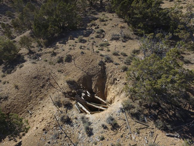
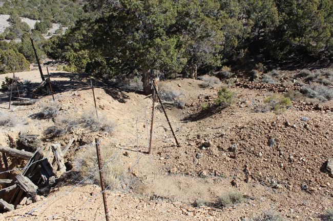
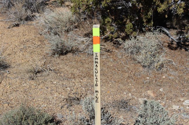
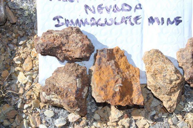
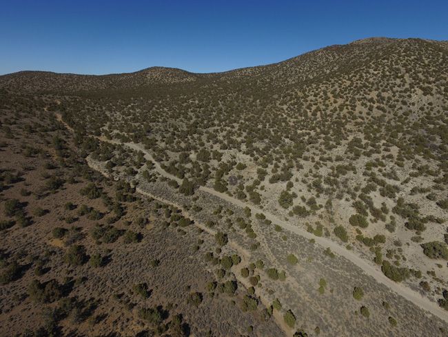
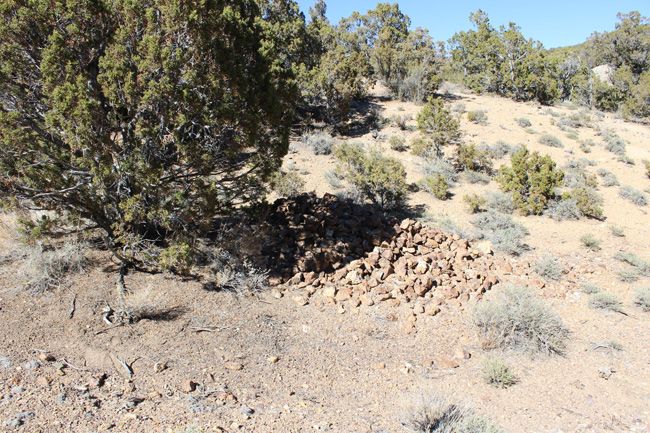
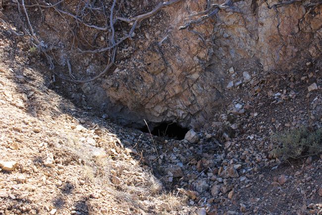
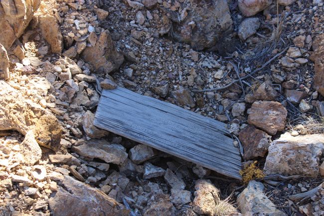
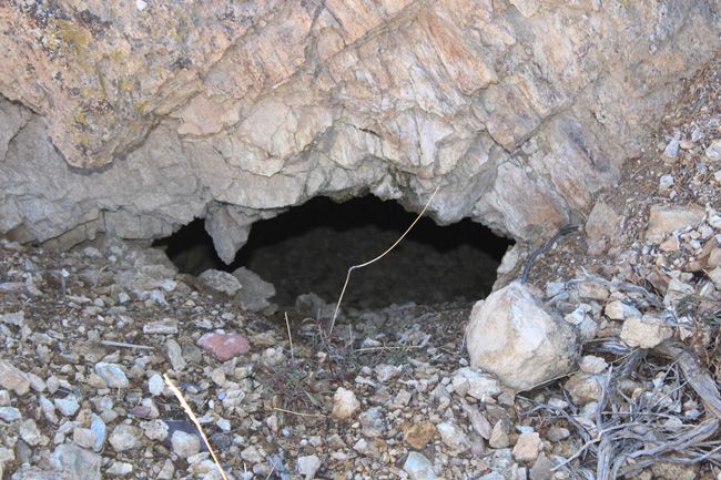
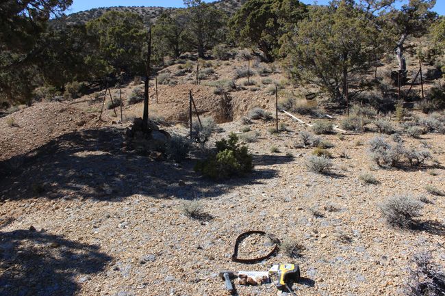
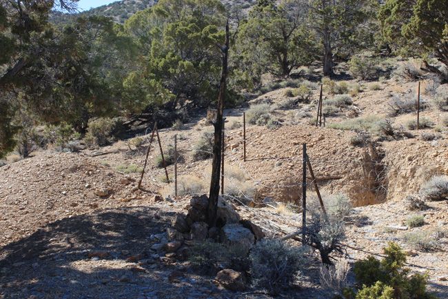
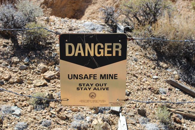
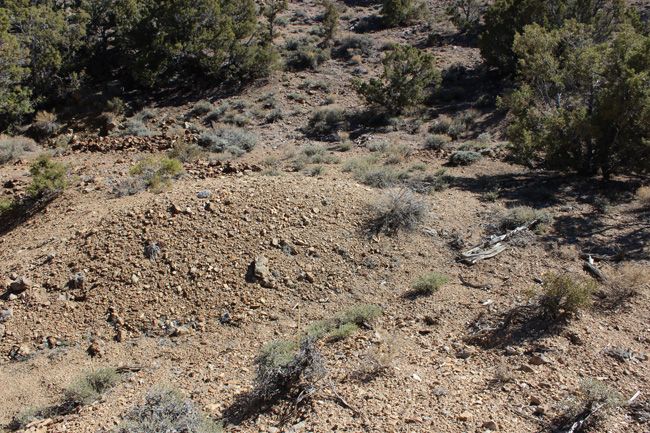
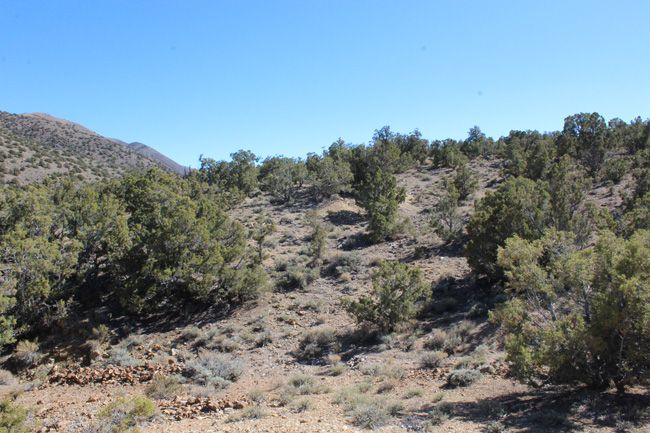
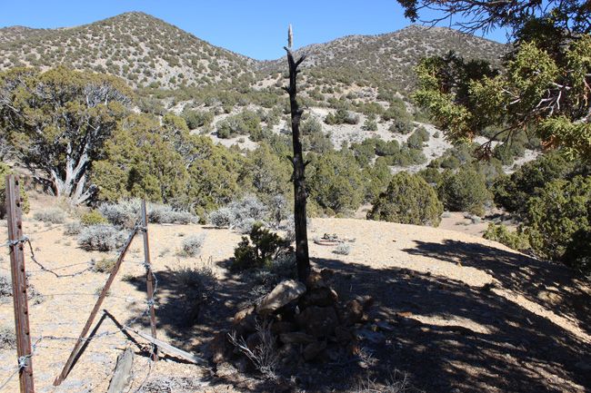
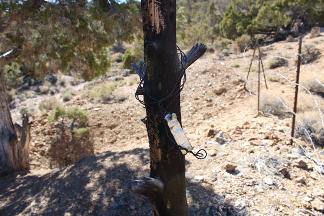
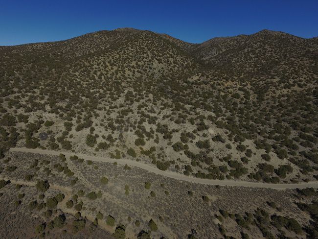
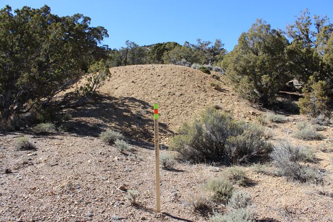
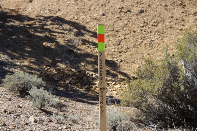
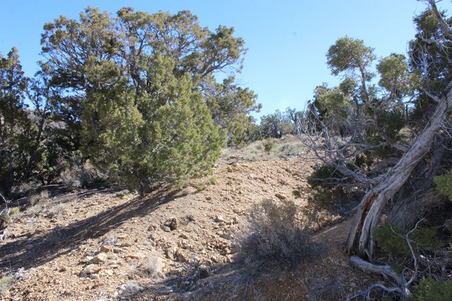
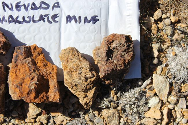
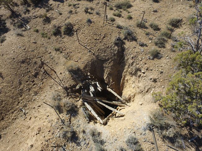
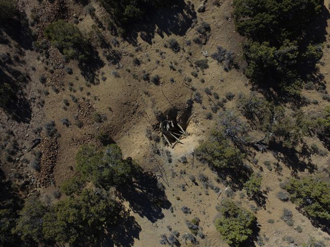
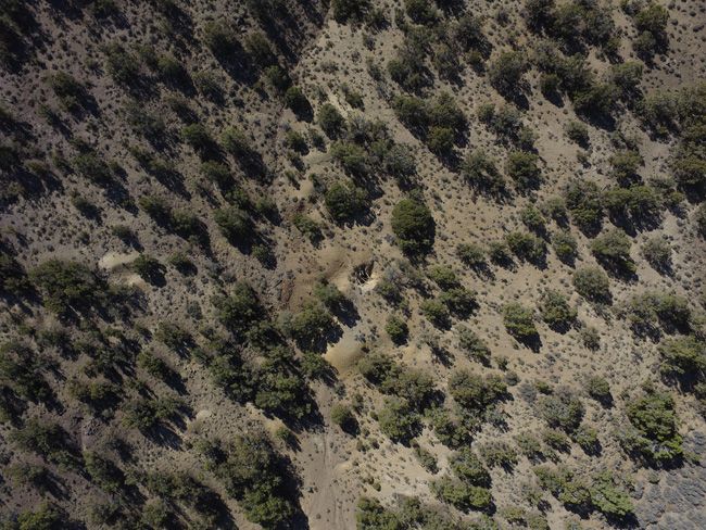
Gold ore at the Immaculate mine occurs in bodies of irregular shape and size, sporadically distributed throughout a narrow quartz vein occupying fractures within Triassic metasedimentary and metavolcanic rocks. The ore zones within the narrow vein are composed principally of soft, earthy manganese and iron oxide in a frail, sponge-like structure of silica; gold occurs as very fine threads ant thin plates in interlacing masses, often in sufficient quantity to bind together pieces of broken ore (Stoddard,1932,p.1). The vein occupies a fault plane, strikes east-west, and dips steeply north; at the Immaculate mine, the vein ranges from two inches to three feet in thickness. Stoddard (1932, p. 2) described the discovery vein at the Immaculate (the Stormcloud) as occurring within meta-andesite which has been intruded by later andesite dikes, probably of Tertiary age; he related the ores of the district to the later andesite. Stoddard also described the occurrence of other, similar, veins in the area surrounding the original discovery. The Immaculate consists of 20.66 acres of ground on Federal/BLM land and is made up of two mines – an adit and a shaft. The adit is partially blocked and the entrance is down to about a 1 to 2 foot gap from years of natural erosion, but accessible if you wanted to wriggle in. An hours worth of work would open it up quite a bit. The shaft appears to be 66-feet deep, and then looks like it heads SE for an undetermined distance. The old head frame and collaring is in bad shape and is down at the surface of the shaft. The mine has a documented past production history for gold, silver, quicksilver and copper which was produced from the mine’s main workings. While I was able to get to the mine only using 2-wheel drive, if you do not have good ground clearance and good off-road tread on your tires (not to mention being an experienced off-road driver), then I would suggest that you plan to use a 4-wheel drive vehicle, as every year monsoon rains can wash out sections of the dirt road here and there and without a little hand work to fill some ruts, it could be tricky to get to for the non-prepared driver. If you do plan to use 2-wheel drive, I would strongly recommend bringing a good shovel and a pick in case you do need to make a quick off-road road repair, as the last 250-feet of the drive the road is a little rough and overgrown. |
|





Buyer will receive the following with their completed transaction:
- Quitclaim deed showing full ownership of the claim. This will be stamped, recorded and verified with the County and the BLM offices.
- Welcome packet with all of the rules and regulations as they relate to the State and BLM where the claim is located.
- Educational documents to annually renew your mining claim with the BLM.
- A CD of all of the documented images of the claim including maps of the site.
- Map of claim marked and GPS coordinates.
- Multiple maps showing claim location and surrounding areas for access.
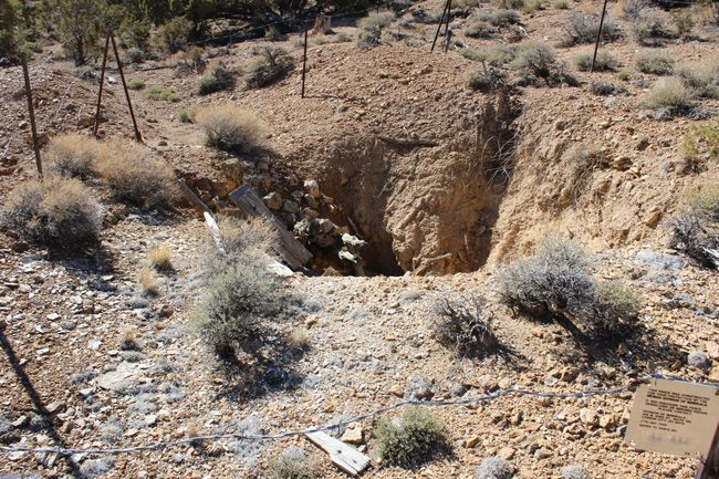

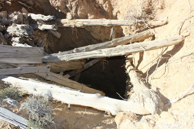
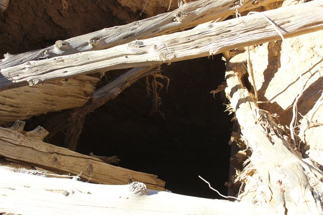
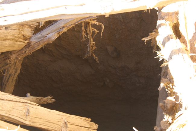
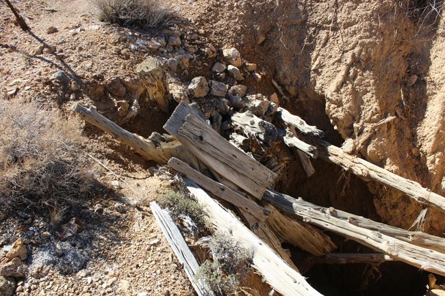


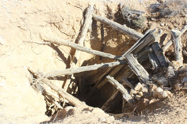
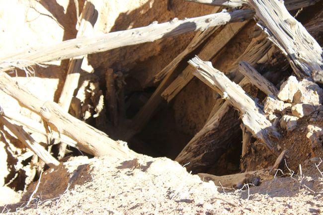
Come to Hike, Camp, Ride and Shoot – or come to pull some shiny rock$ out of the ground;-)
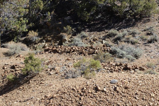

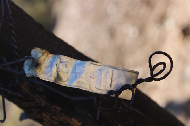
|
The first recorded discovery of mineral in the Pilot Mountains was in 1913 when cinnabar was found in a limestone ledge exposed in an old prospect pit (Knopf, 1916, p.59). The date of the original work on the prospect is not known. Since the rediscovery of cinnabar in 1913, prospecting and mining has been carried on intermittently. Production through 1952 totaled about 5000 flasks of mercury (Phoenix and Cathcart, 1952, p. 145). In 1916, tungsten deposits were discovered on the east slope of the Pilot Mountains, south of Graham Spring. Some mining was done shortly following discovery and intermittently thereafter through about 1956. The district is credited with production of about 24,000 units of WO, during this time. In 1971, large deposits of scheelite-bearing skarn were defined in the area of the old Desert Scheelite and Gunmetal mines and plans were made to develop a large mine to exploit the deposits. The price of tungsten fell, however, and the deposits remain as an unmined resource; reserves in the district are estimated at about 8 million tons of ore containing around 0.3 percent WO, and significant amounts of copper and silver (Stager and Tingley, 1988, p. 117). Gold discoveries were made about 2 miles northwest of Summit Springs, in the southern Pilot Mountains in May of 1932. A small rush occurred to the area and, by the fall of that year, Eddyville, a settlement of about 75 prospectors and miners, had grown up at the discovery site (Stoddard,1932). Stoddard mentions that by September of 1932, 2-ton shipments, averaging about $1000 per ton in gold, were being made each week to the Selby smelter in California. No other records of activity at this camp exist, and its total production is not known. At the time of our examination of this area, new mining claims were in evidence, but little work was in progress. |
|


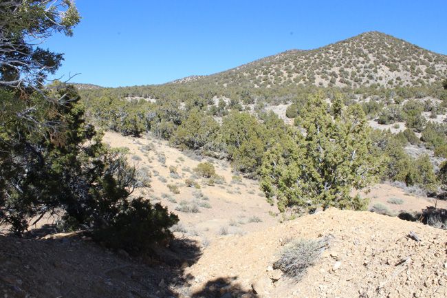
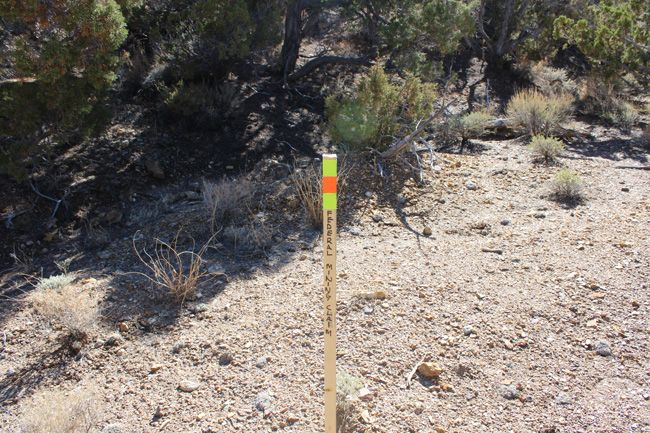
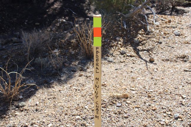

|
The Pilot Mountains district includes all of the Pilot Mountains in southeastern Mineral County. The district lies east of Mina and U.S. Highway 95 and extends between the Bettles Well- Graham Spring road on the northwest to the Mineral-Esmeralda county line on the southeast. Monte Cristo Valley forms the eastern boundary of the district.
The Pilot Mountains are composed largely of Permian, Triassic, and Lower Jurassic volcaniclastic, clastic, and carbonate rocks which have been locally intruded by stock-like bodies of Cretaceous granodiorite-quartz monzonite and, in one area, a Tertiary rhyodacite dome. Felsic to intermediate volcanic rocks of Middle to Upper Tertiary age crop out extensively over the area, the most extensive outcrops are on the north and south margins of the district (Grabher, 1984, p. 7).
The principal structural feature of the area is the Luning thrust, a regionally-extensive feature that has stacked coeval units of differing facies; in the Pilot Mountains, Triassic carbonate rocks of the Luning Formation have been thrust, as a complex, imbricately-stacked package, over post-Luning age clastic rocks as well as Permian volcaniclastic rocks. Faulting, in part related to the Walker Lane system, also is prominent in the area. Northwesterly faults of this system form portions of the western range front (Grabher, 1984, p. 7). |
|
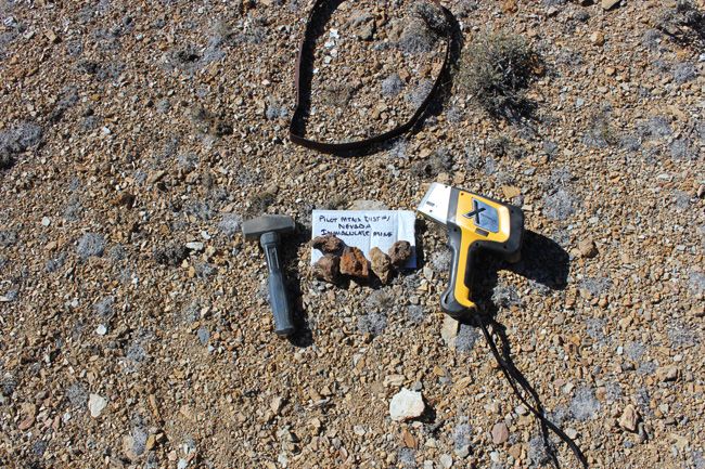
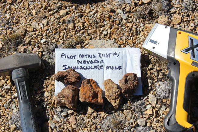

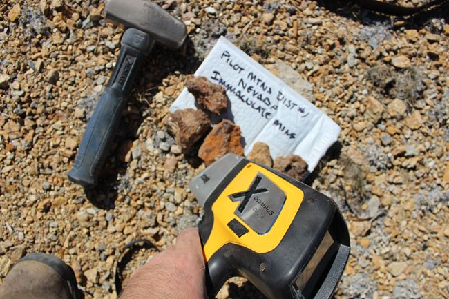
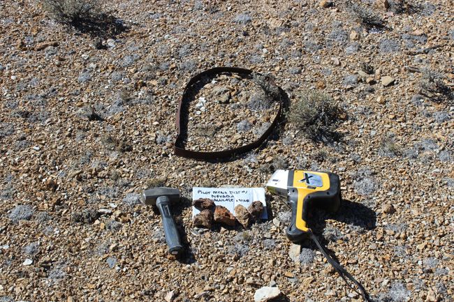
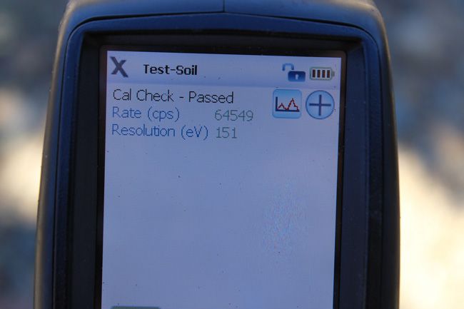
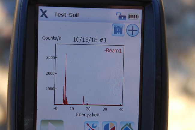
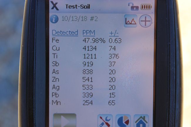
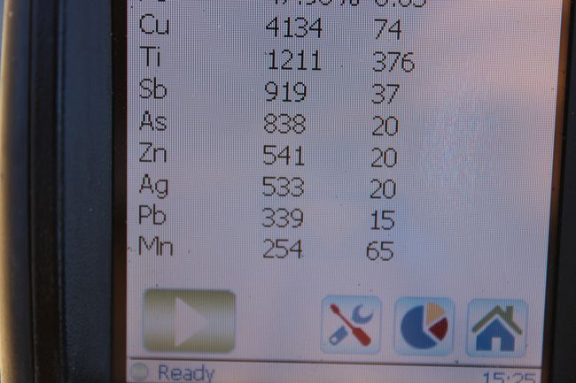
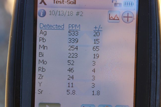
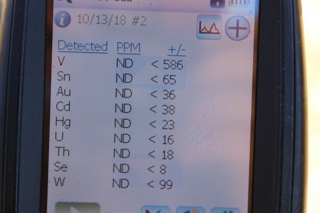
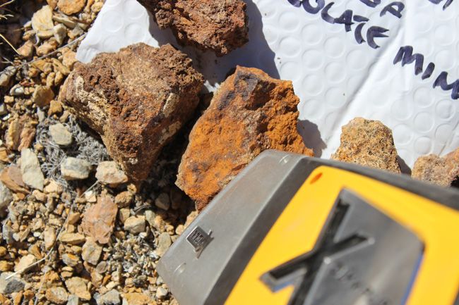
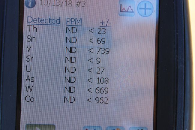
Portable X-Ray Fluorescence field units (also known as XRF guns) are commonly used by large commercial mining operations, well-equipped/funded private prospectors and even the Environmental Protection Agency (EPA) as well as many other government agencies for the most accurate field sampling in the quickest amount of time. In no way do we advise that you base all of your commercial mining valuations on just one or two samples (regardless of how accurate the method that you use to sample is), but this extremely precise and versatile $40,000 device is equipped with powerful X-ray tubes, specialized filters, highly advanced detectors, and multi-beam optimization that efficiently analyzes the chemistry of the rock, soil, and sediment that hosts metals, for a quick and extremely accurate analysis of even trace levels of metals like silver, lead, gold, platinum, copper and many other elements.
Today’s highly sensitive XRF Handhelds (we use the best unit available on the market – an Olympus Delta Premium with a full mining package) work by emitting an x-ray beam with enough energy to displace the electrons in the inner shells of the atoms that differ from the energy it gives off leading to a loss of energy in that atom. The specific loss of energy identifies the elements that are present in the sample. While fire assay is still the most widely used way to gauge how much or a particular metal (like gold and silver) is present in a sample since it can test the entire sample, it is an expensive process and takes many weeks to get an answer. XRF technology is the fastest and most accepted method in existence today for sampling a few millimeters (or deeper depending on the type of host rock sampled) into the surface of even the hardest rock, and the accuracy is measured in 1 to 2 parts per million (PPM)







Mining claims are a tangible asset just like any other Real property (real estate) and show a lifetime proof of all interests in minerals in the area specified by the above claim. Once you own this claim and the associated mineral rights, you will own them for life as long as you keep up with the annual fees. This claim can be bought, sold, leased or used as collateral, just like any other piece of real estate.
A mining claim can be willed or passed down to future generations as part of a trust or your estate, or you can trade it, lease it out for a period or time (or indefinitely), gift it to a family member or friend and you can also transfer or sell just an interest in it in part or in its entirety just like any other real property using a quitclaim deed which is a recordable conveyance. In other words, you could sell a 25% or a 50% share in it if you wanted in order to bring on a partner in the future – or you could sell the entire claim in whole.
This is for full/all interest in this 20.66 acre lode mining claim (unless the acreage indicated in the above mine description is different). This claim covers the entire site, (unless the claim description above describes different measurements), and includes full rights to all minerals, gems and just about whatever else you may find of value on the property (except oil and gas, which are handled separately). The new owner of this mine will receive a notarized quitclaim deed to the full claim and all associated documentation showing full ownership of the claim. We pay ALL fees associated with transferring this claim into your name – legal fees, title transfer fees, document fees, notary costs, recording fees and even shipping fees, so all you will pay is the final price of the auction, not a penny more.
In order to hold on to your claim for life, you will need to pay an annual maintenance fee to the Government (BLM, not us) every year. Currently the maintenance fee is $165 per year per claim that you own, and it is due on September 1st of every year.
NOTE that if you own fewer than 10 claims nationwide, we can assist you in filing the paperwork to waive the maintenance fee every year. That means you will only pay $15 per year for your maintenance fee instead of $165. We guarantee that all past fees have been paid in full and there are no outstanding debts or amounts owed on the claim prior to the transfer of ownership into your name.
The federal government retains ownership of the land – so this means that you will not have any annual real estate taxes due on your mining claim, and you will not have to maintain liability insurance in case someone gets injured on your claim due to no fault of your own.
How do Transfers of Ownership in Mining Claims work if I decide to sell my claim in the future?
First, we handle all the paperwork and costs associated with transferring this claim into your name. But if you decide to sell this claim at some point in the future, interest in a properly recorded mining claim or site may be transferred (i.e sold) in part or its entirety. A quitclaim deed or recordable conveyance document is required and if you do sell your claim someday and the transfer documents should be filed within 60 days after the transfer.
We can and will help you with the paperwork for no cost should you need a hand selling your claim in the future if you pay all of the County, State and Federal fees (usually less than $40 to $60).
But again – with regard to transferring this claim initially into your name, we take care of all the paperwork at our expense. You do not have to worry about anything. we handle the BLM transfer documentation and the county recording.
Can you build / camp on your claim?
Without an approved plan of operations, you have the same rights and restrictions as the public. If the area is open to camping to the public, then it is permissible. However, you need to check with the BLM Field Office or the local District Ranger for areas open to camping. Under Federal law in order to occupy the public lands under the mining laws for more than 14 calendar days in any 90 day period, a claimant must be involved in certain activities that (a) are reasonably incident; (b) constitute substantially regular work; (c) are reasonably calculated to lead to the extraction and beneficiation of minerals; (d) involve observable on-the-ground activity that can be verified; and (e) use appropriate equipment that is presently operable, subject to the need for reasonable assembly, maintenance, repair or fabrication of replacement parts. All five of these requirements must be met for occupancy to be permissible.
Although it is possible to build a permanent structure on a mining claim, it is extremely expensive and you will have to jump through way too many hoops to consider it easy to do. It would have to be in support of a commercial, year-round mining operation for starters, and you would need to post a large reclamation bond to insure that if you ever abandoned your claim, the bond would pay for the removal of the structure and the reclamation or the area. So in short, it is technically possible to build on your mining claim, but just be aware that it is very difficult and expensive to do – however, camping is almost always involved unless your claim is in a wilderness area, which is not very common at all.
Proud Member of:
Your payment of this eBay item in full gives you 100% ownership of this entire claim, with no other fees and/or other costs for the transfer of ownership required. This is NOT for the down payment, this is NOT a partnership arrangement where someone else will own part of the claim with you, and there are NO other fees or costs for the transfer of this claim in your name.
eBay does not allow checkout on the eBay website for any Real Estate transactions – simply because it is not like selling a widget – the transfer of real estate is complicated and requires notary work, licensed professionals and recording. Note that this is eBay’s rules and not ours and it is the same for any mining claim seller on eBay
We also are not able to accept PayPal payments for mining claims, as claims are real estate and PayPal does not allow payments to be made on any real estate items, including single family homes, condos, mining claim or land purchases. We DO accept just about every other kind of payment method you can think of: Personal Checks, Business Checks, Cashier’s Checks, Money Orders, Bank Wires, ACH payments, Direct Bank Deposit at any Bank of America Branch, Gold or Silver Bullion (at the day’s SPOT prices), etc. After the auction close, we will send you a secure link to handle the payment safely online if you prefer, and we can also take care of payment by mail or telephone, as we are a traditional Brick and Mortar business – so whichever method you prefer is perfectly fine with us.
We provide financing plans with no interest or fees. Financing terms are minimum of $500 down with the balance will due within 90-days via three equal monthly payments of the remaining balance after the down payment has been paid.
With all financing plans, we do not transfer the final deed into your name until the claim has been paid in full. In the event of a default on a payment plan, we do not refund your down payment – however, we do allow you to put that down payment towards any other purchase as a store credit in full. If you are financing a climate and there is less than 90 days until September 1st (i.e. from June 1st through September 1st), when the annual fee for mining claims is due to the Federal Government, we will add the $165 maintenance fee to your down payment and pay it to the BLM on your behalf thereby increasing your down payment to $665 instead of $500 – however, the $165 portion of the down payment does not go towards your principle balance since it is used to pay the annual fees to the government, therefore the actual down payment credit will still be $500. Approval for financing is automatic as long as you have a valid eBay account in good standing.
Item specifics
-
Seller Notes
-
-
Type of Claim
-
Lode
-
Featured Refinements
-
Mining Claim
-
Property Address
-
Mina, Nevada 89422
-
State/Province
-
Nevada
-
Seller State of Residence
-
California
-
Zip/Postal Code
-
89422
-
Zoning
-
Mixed
-
City
-
Mina
-
Acreage
-
20.66
-
Type
-
Unpatented Mining Claims
-
See MapPortions of this page and links may be provided by third party content providers such as MapQuest.com, and they are solely responsible for such content.